Greater London Street Atlas
In Stock


 0
0 reviews
0
0 reviews
270.00 uah
ISBN:
9780007274376
Availability:
In Stock
Author
Collins
Format
Paperback
Number of pages
480
Publisher
Harper Designe
Size
21x2.5x29.7
Year of publication
2009
Weight
1.58kg
- About the book
- Reviews (0)
About the book Greater London Street Atlas
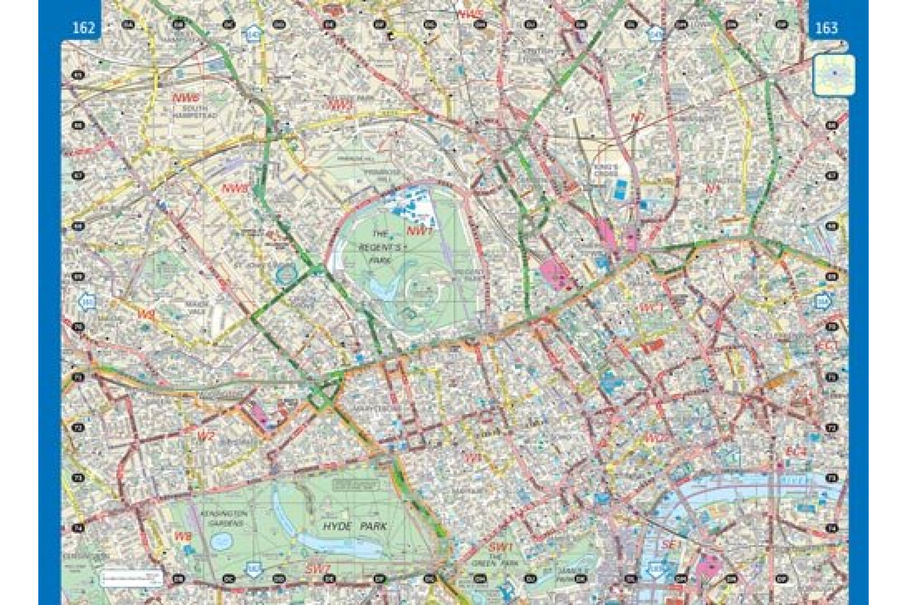
Великий вуличний атлас Лондона | Надзвичайно детальні карти вулиць, що охоплюють 1660 квадратних миль Лондона та околиць. Це найвичерпніший вуличний атлас Лондона. Він містить величезну кількість деталей та демонструє високий рівень чіткості, а різнокольорові позначки роблять його дуже зручним для використання.Ключові особливості:
• надзвичайно масштабні карти центрального Лондона;
• площа понад 4300 кв. км. (1660 квадратних миль);
• чотири масштаби;
• карта метро та залізничного сполучення Лондона із зазначенням зон подорожей;
• театри, кінотеатри та торгові центри;
• повний покажчик назв вулиць і визначних місць, лікарень, шкіл, коледжів і вокзалів.
Greater London Street Atlas | Incredibly detailed street level maps, with over 40 categories of information, covering 1660 square miles in and around London. This is the ultimate street atlas of London. It contains a huge amount of detail and exhibits a high level of clarity, with land use clearly colour coded to aid use.
Key features:
• extra large scale central London maps;
• area of over 4,300 square km (1660 sq miles) covered by main street maps;
• four main map scales; ranging from route planning maps of south east England to large scale central area maps – ideal for navigation;
• underground map and London connections rail map showing travel zones;
• theatres, cinemas and shopping maps;
• full index to street names and places of interest, also hospitals, schools, colleges and stations.
Other books by the author
Collins
Collins
Book reviews Greater London Street Atlas (0 reviews)
+ Добавить отзывPreviously reviewed
One click buy


 +38 050 462 21 01


